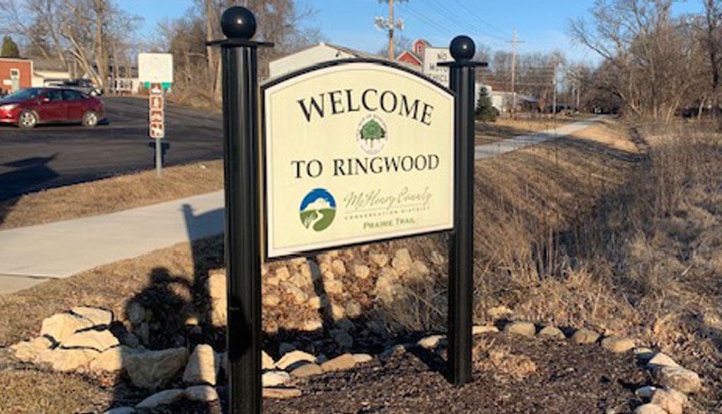
Prairie Trail
Ringwood's downtown features a Prairie Trail trailhead connecting to areas throughtout McHenry County and beyond.
PRAIRIE TRAIL NORTH
• Ringwood to Wisconsin line (7 miles) This original rail ballast/gravel trail offers a travel route for hikers, bicyclists, horseback riders and snowmobilers.
• Prairie Trail to Hebron Trail (4 miles) This trail connects to the Hebron Trail, westbound through North Branch Conservation Area.
• Ridgefield Trace (7.5 miles) Access trail at Walkup Rd. in Crystal Lake for 7.5 miles to Lake Ave. in Woodstock.
PRAIRIE TRAIL SOUTH
• Algonquin to Ringwood (19 miles) This paved section provides recreational opportunities for pedestrians, bicyclists, roller bladers and cross-country skiers. While most of the trail is relatively flat, between Lorraine Ave. and Hillside Rd. in Crystal Lake (through Sterne’s Woods) the trail is quite hilly.